South Dakota to shutdown down stretch of Interstate 29, Dakota Dunes residents asked to evacuate
Flooded rivers colliding in North Sioux City area, anticipated crest levels higher than previous estimates

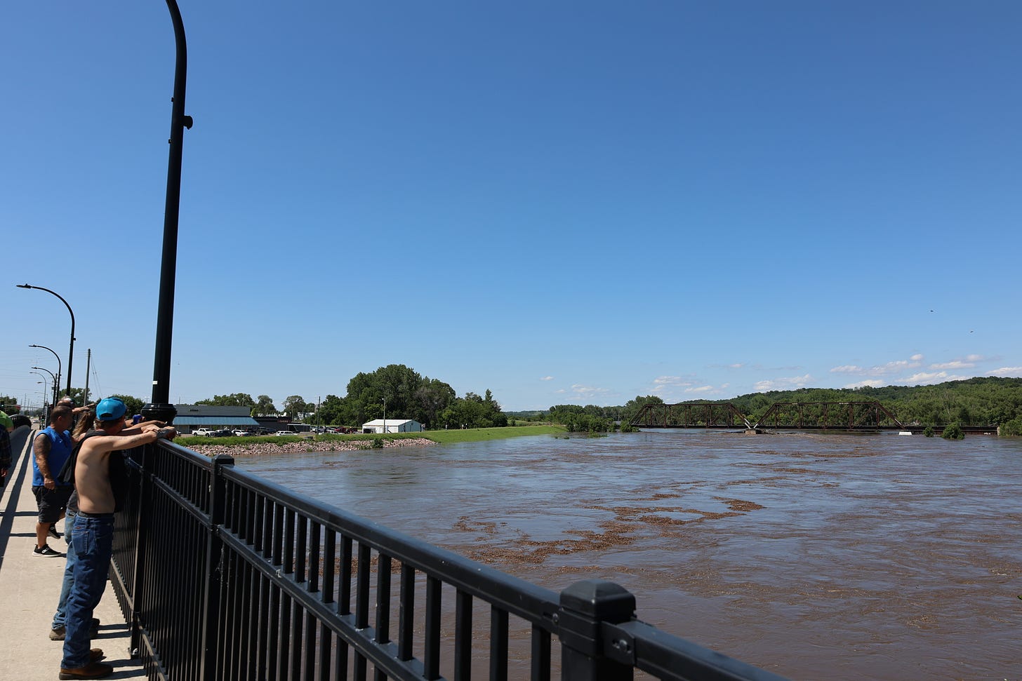
NORTH SIOUX CITY — Peak flood levels in the southeast corner of South Dakota will be higher than anticipated, prompting communities to evacuate and more road closures.
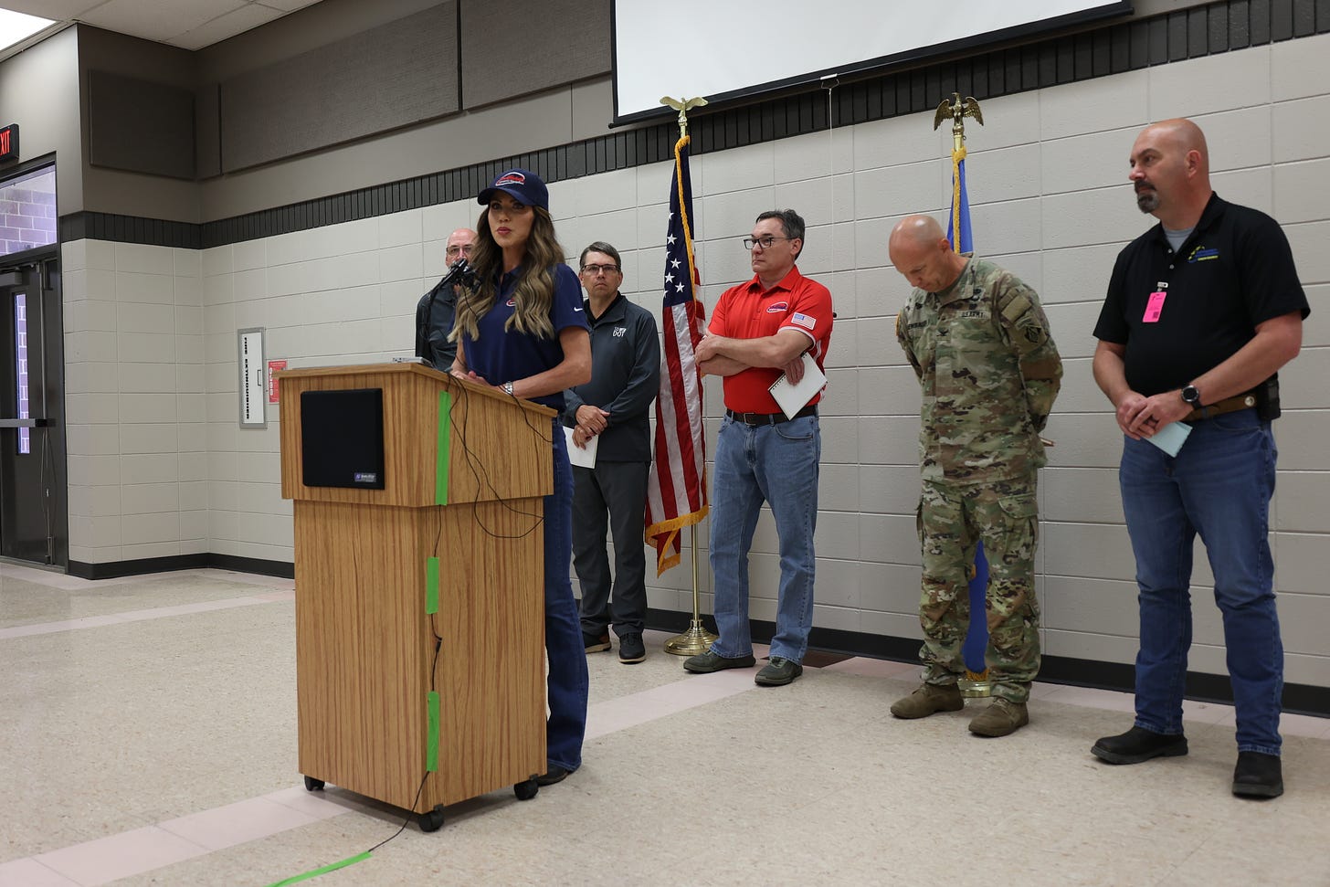
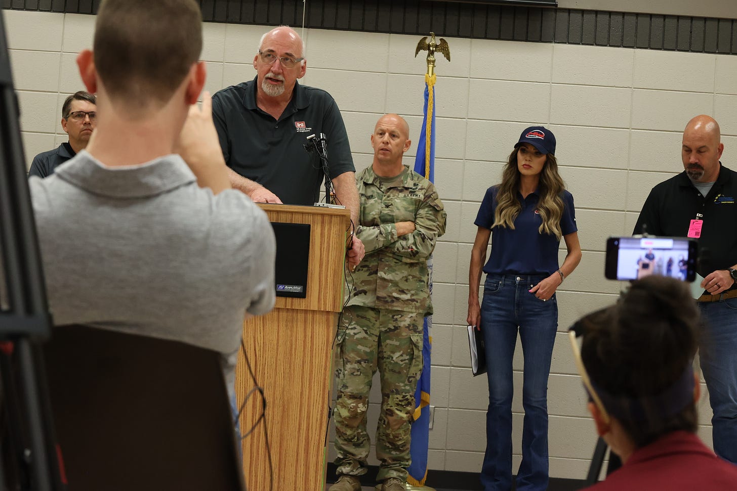
Gov. Kristi Noem, the South Dakota Departments of Public Safety and Transportation, Union County Emergency Management and the Army Corps of Engineers on Sunday in a joint press conference announced that updated projections show water levels in the Big Sioux River and the Missouri River it feeds into will surpass previous crest estimates.

RELATED: Flooding in South Dakota prompts declaration emergency from Gov. Noem
And that has Dakota Dunes area officials asking residents to get to higher ground while the DOT will shut down a five-mile stretch of Interstate 29 to build a temporary levee over the freeway near Exit 4 at McCook Lake Sunday evening.
“We’ve got a few days in front of us that are going to be a bit rough,” Noem said while addressing about 50 community members and the press at the North Sioux City Fire Department.
Earlier this weekend, official crest level estimates along the Big Sioux River established by the Army Corps of Engineers and the National Oceanic and Atmospheric Administration had waters peaking at 38.4 feet at North Sioux City. However, due to water flowing into the Big Sioux from unregulated tributaries — creeks and streams that are not monitored by the federal government — levels have risen faster than expected. Updated modeling now has the Big Sioux River at North Sioux City cresting at a record-setting 42.5 feet around 7 p.m. Sunday. That’s about 4 feet higher than Saturday’s estimates.
And while crest estimates have come down along the James and Vermillion rivers, those waterways coupled with the Big Sioux are swelling the Missouri River, expected to reach 31.1 feet by 7 a.m. Monday morning, also a record crest level for the country’s longest river.

Union County Emergency Management Director Jason Westcott said sandbagging efforts are taking place to fortify existing levee systems in the area, but the public is advised to consider leaving the area. And due to limited resources and a high number of service calls related to the flood, first responders might not have capacity to conduct further water rescues if conditions worsen.
“If you feel that you’re in harm's way at your residence and you see water coming at you, please gather your personal belongings and leave at that time,” he said. “The county is currently about maxed out on being able to do water rescues at this point. As … it becomes more serious in this area, we may not have the ability to rescue people … if they continue to stay there after they were asked to evacuate.”


NEWS: Black Hills elderly care worker gets suspended prison time for embezzlement


